
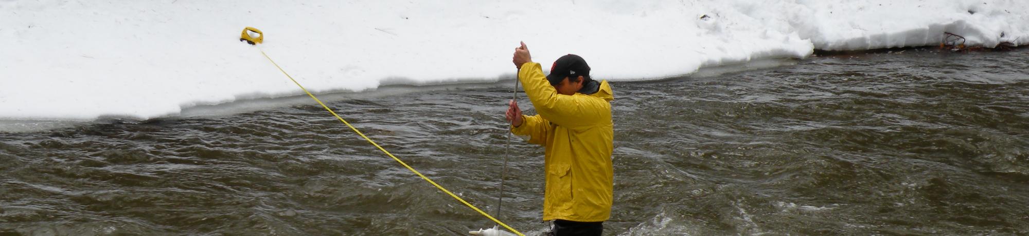
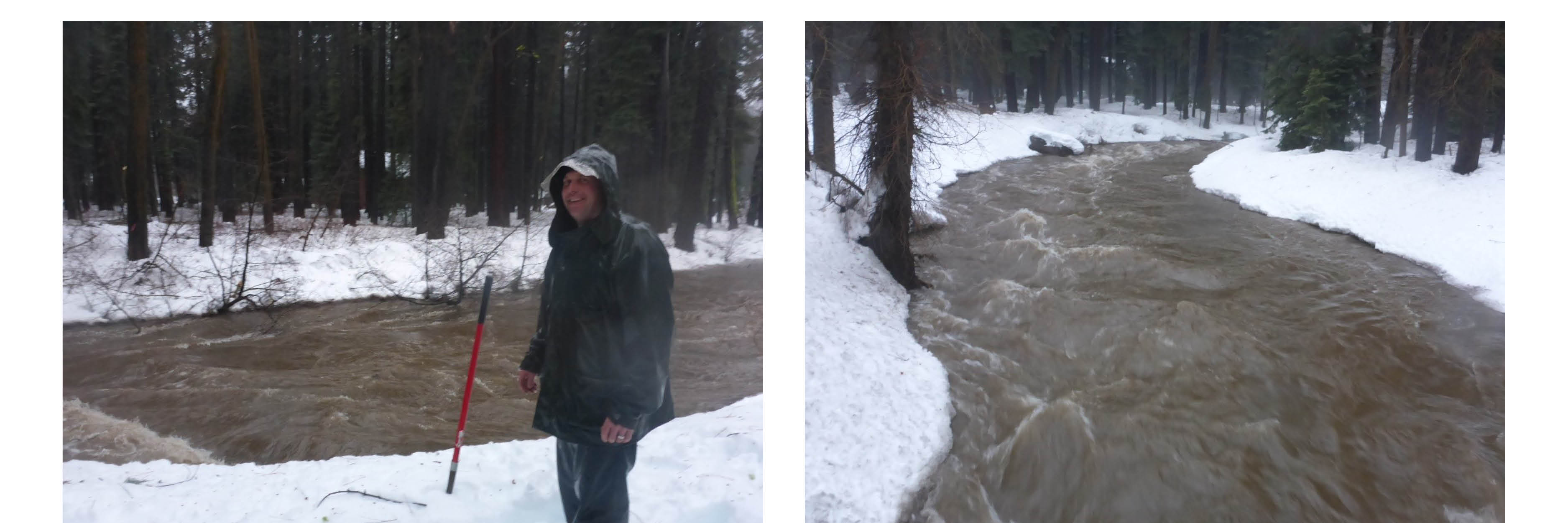
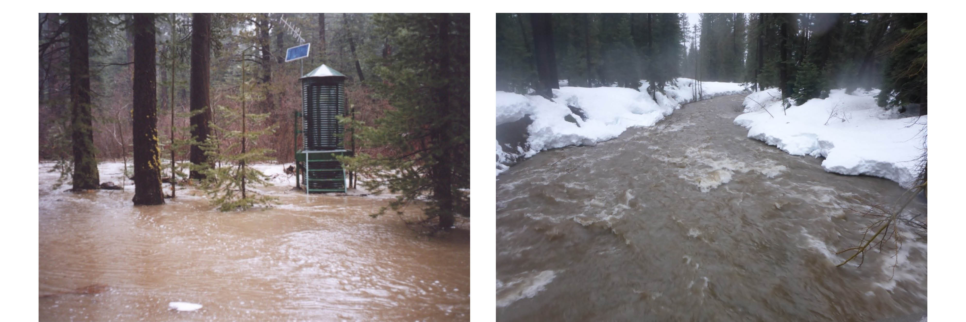
TERC and USGS researchers visit long-term stream monitoring stations to collect water samples and make measurements throughout the year. This includes sampling during strong winter storms when stream flows are high. These collections are part of the Lake Tahoe Interagency Monitoring Program (LTIMP) which measures nutrient and sediment input from a portion of the basin's 63 streams. Water samples are analyzed for sediment, nutrients, fine particles, and additional stream data.
The Lake Tahoe Interagency Monitoring Program (LTIMP) evaluates the status and trends for stream input (loading) of sediment and nutrients. Continued stream monitoring is important to detect changes in the response of stream water quality and evaluate the effectiveness of watershed restoration programs. The data collected supports simulation monitoring used for management decisions. The stream monitoring program data has proved to be a tremendous resource for past and current studies of Lake Tahoe and its watersheds.
Funding and support: Tahoe Regional Planning Agency and U.S. Geological Survey
Collaborators: David Smith (dwsmith@usgs.gov); Brandon Berry (brkberry@ucdavis.edu); Raph Townsend (raph_townsend@yahoo.com); Geoff Schladow (gschladow@ucdavis.edu)
LTIMP Realignment Report, August 2014